Today we start a walk from Horio to Horio, via the top of the hill, a ridge, some ancient sites, a church and a road, among other things. The area we’re walking towards, at the start of the walk, is called Χαμές, or Hames, of Chames on some maps depending on how you want to translate the Greek letter X. It’s pronounced kind of like the ‘ch’ in the Scots word ‘loch’, unless it comes before and i or an e in which case it’s pronounced as the h in ‘hew’, so in this case it’s more correctly ‘Chames’ though not as if the ch came from ‘church.’ Try saying ‘loch-ames’ without the lo, and pronouncing the ‘ames’ not as in ‘James’ but as in two syllables so: ‘loch-am-es’ and with the accent on the ‘es- part. Got it? Good, now you know where we are going.
By the way, I don’t know exactly what Χαμές means, it’s not a word in my dictionary, but the closest I can come to is χάμω, an adverb meaning ‘to, or on, the ground,’ and χαμένος, the adjective ‘lost’ or ‘the loser’ (as at cards, which is what we were on Saturday night before this tale starts). Being Greek, the word also means: break off, spend (money), wear out, reduce quality of, pull down (building), undo, change, seduce, kick up a row, move heaven and earth, deteriorate, spoil, go bad, get out of order, lose one’s looks. And if you add a slightly different ending you get, ‘there is a great to-do’, and also, ‘things are not so serious.’ All of which sound a bit like today’s blog, and possibly none of which have anything to do with the place we are going to so let’s get walking before we reach the end of the post.
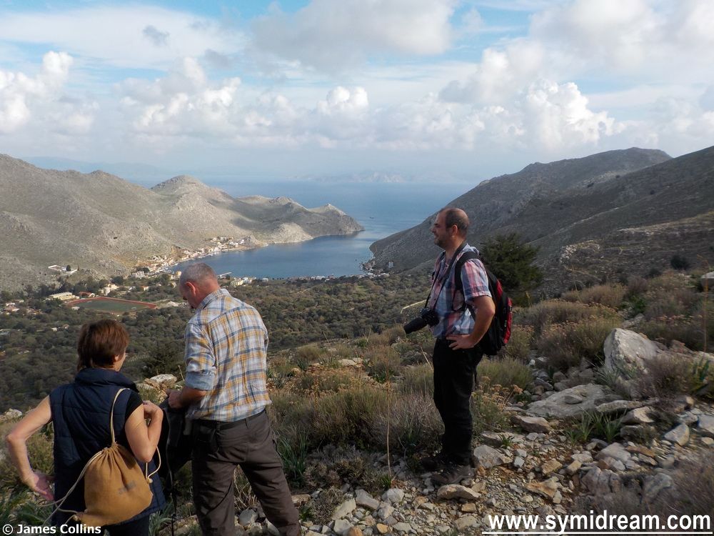
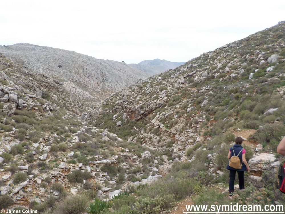
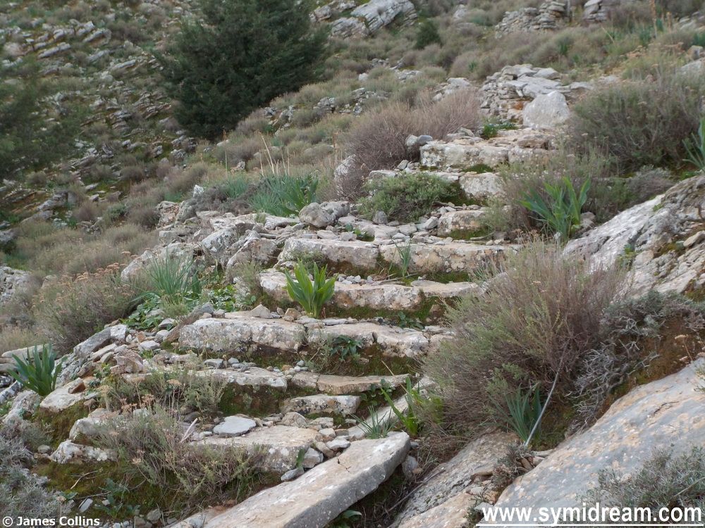
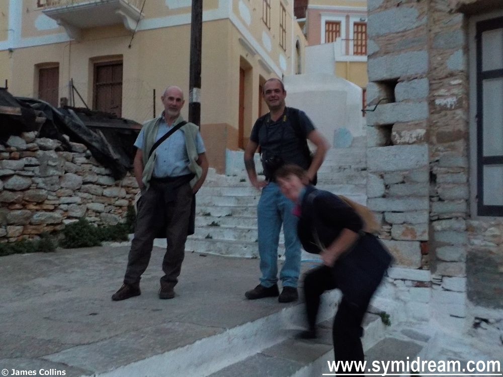
So, we started from home, a very good place to start, and wandered through the village and up to Ag Marina cemetery where we turned a sharp right, just through the gates and past the noisy dog. Upwards is the way to go when climbing up a hill and we certainly went upwards, in fact we climbed to the ridge which, on my map, is at 400 metres, 1,312 feet. This is rough terrain, mainly with a narrow path made by walkers and goats, but occasionally with man-made steps. Not the kind of steps we see in the village or on the Kali Strata, but a few ‘here and there’ steps, suddenly appearing in the middle of nowhere; it makes you wonder what they are doing there – the answer becomes apparent later.
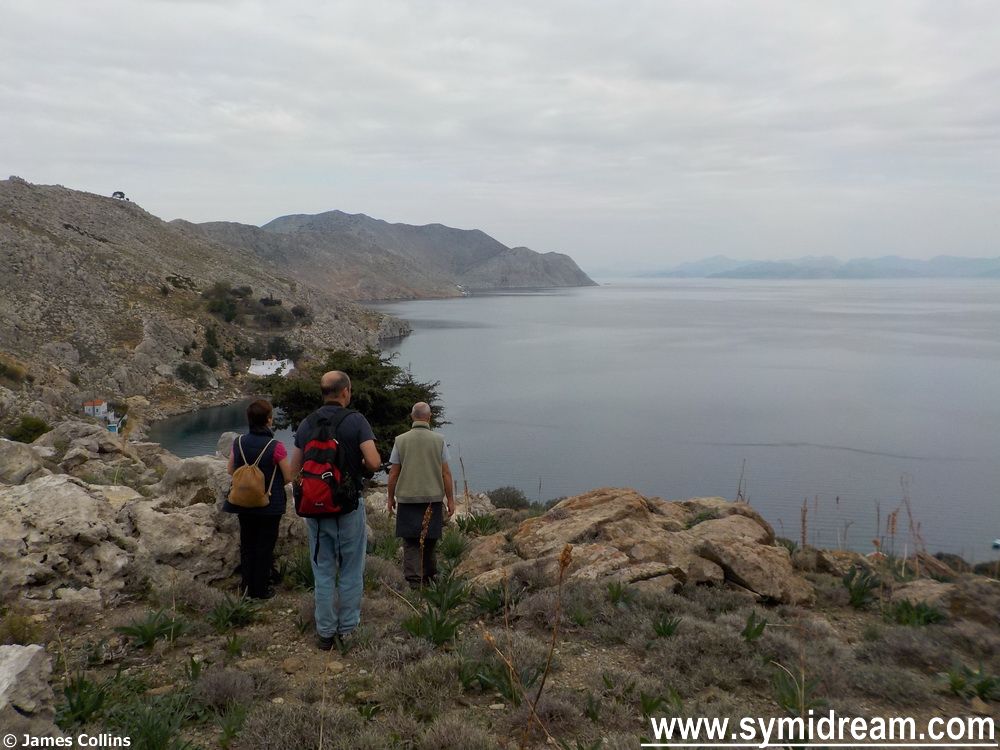
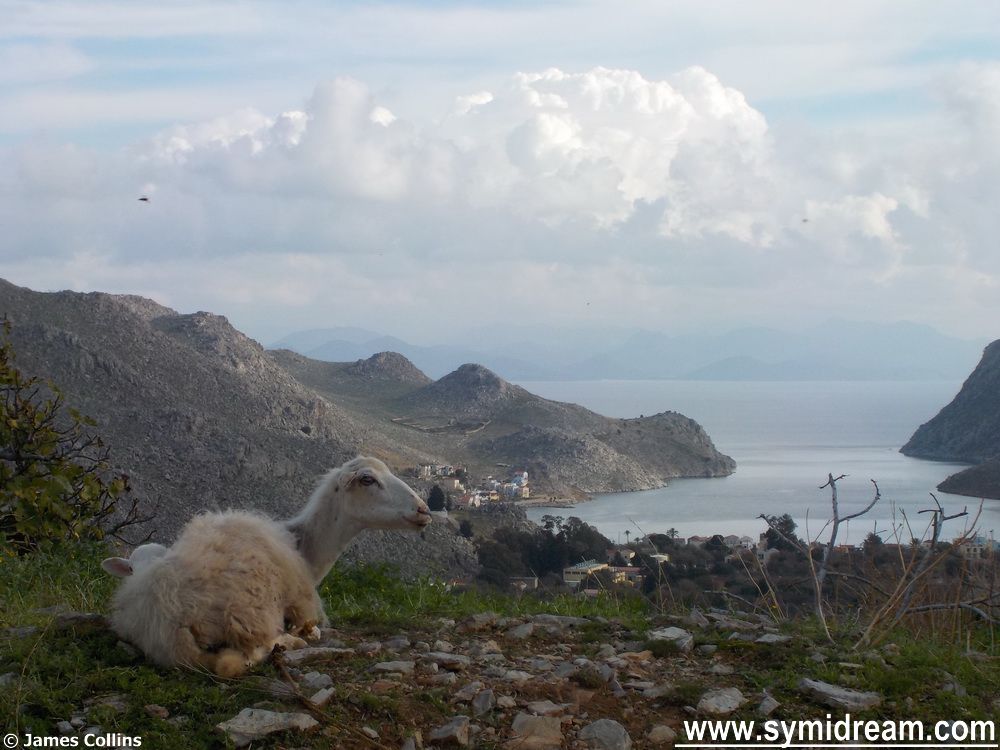
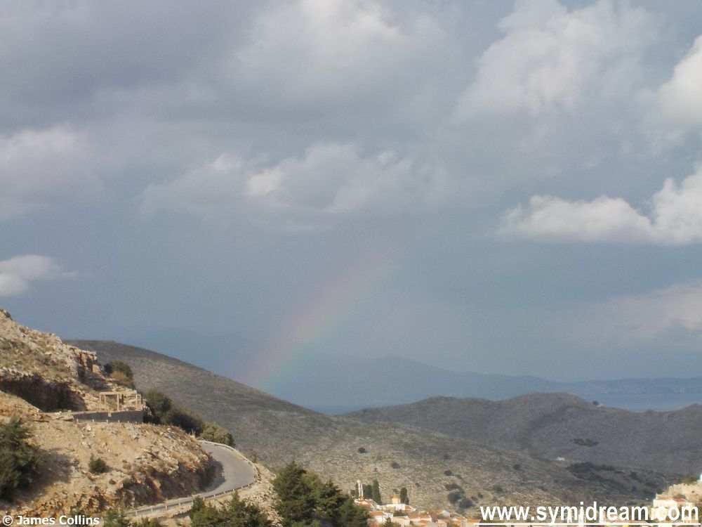
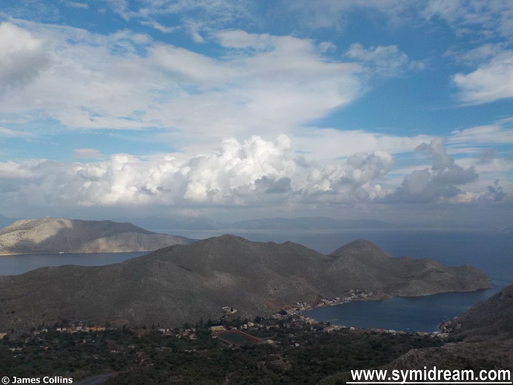
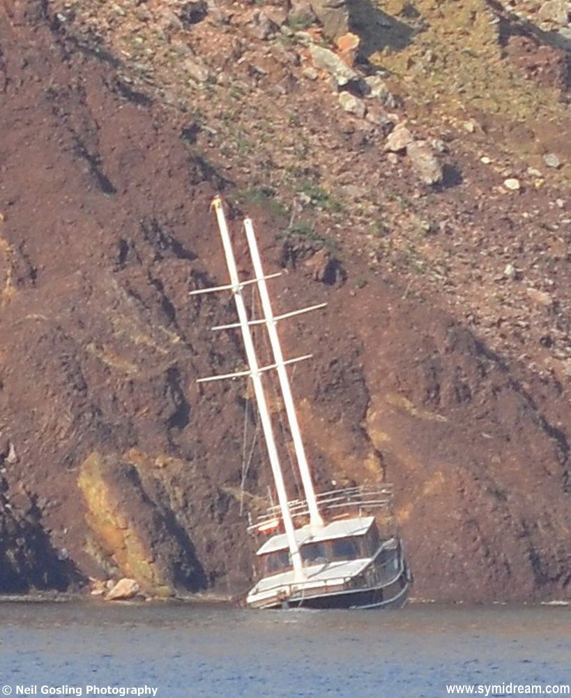
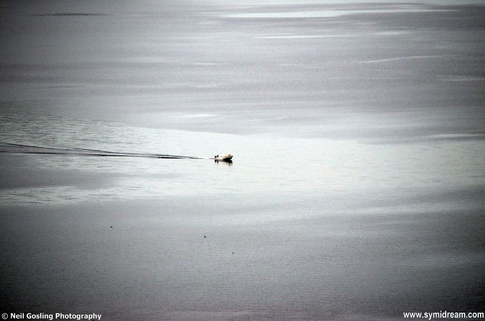
There are great views from up here as you might see in some of the photos. There was also a great skyscape with all manner of clouds, some threatening rain (which we didn’t get until after dark, by which time we were home) and there was a rainbow over the sea between us and Turkey. We stopped every now and then to take photos and swig from our water bottles, and then carried on. You can follow the red and blue dots or the not-always-obvious path and find your own way up here when next on Symi, but make sure you wear the right shoes.
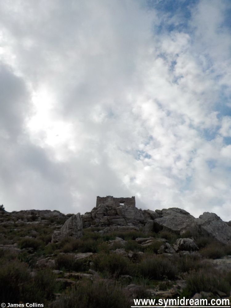
At the top, at 400 meters, you meet a threshing circle and a large area of once agricultural land. There are a few houses up here and a couple of chapels, one of which is called ‘Panagia Chamon’ (Χαμών), and that form of the word is the possessive plural, so, with ‘Panagia’ being the Virgin Mary, the church is ‘The Virgin Mary of the lost’ (perhaps), or ‘of the losers’ (maybe), or ‘of those who have lost their looks’ (more likely in my case), if it means any of those things at all, and I am sure someone who knows will put me right at some point. But the amount of habitation, stones walls, and evidence of once-well-farmed land now makes sense of those steps heading down to the village. If you were talking your goods to sell or put on ships, you’d come down the way we just came up, you wouldn’t go around the Vigla.
Okay, that’s got us started on the walk, tomorrow we will carry on but I wanted to leave you today with another ‘Sounds of Symi’ video. This is the sound of the village church bells ringing on a Sunday, for a name day or festival, or perhaps because we are in Advent, as heard from the side of the hill at roughly 300 meters up. (Sorry about the crunches from the camera.) You may need to turn your volume up.
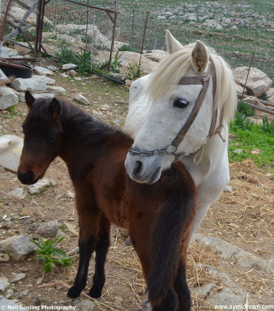
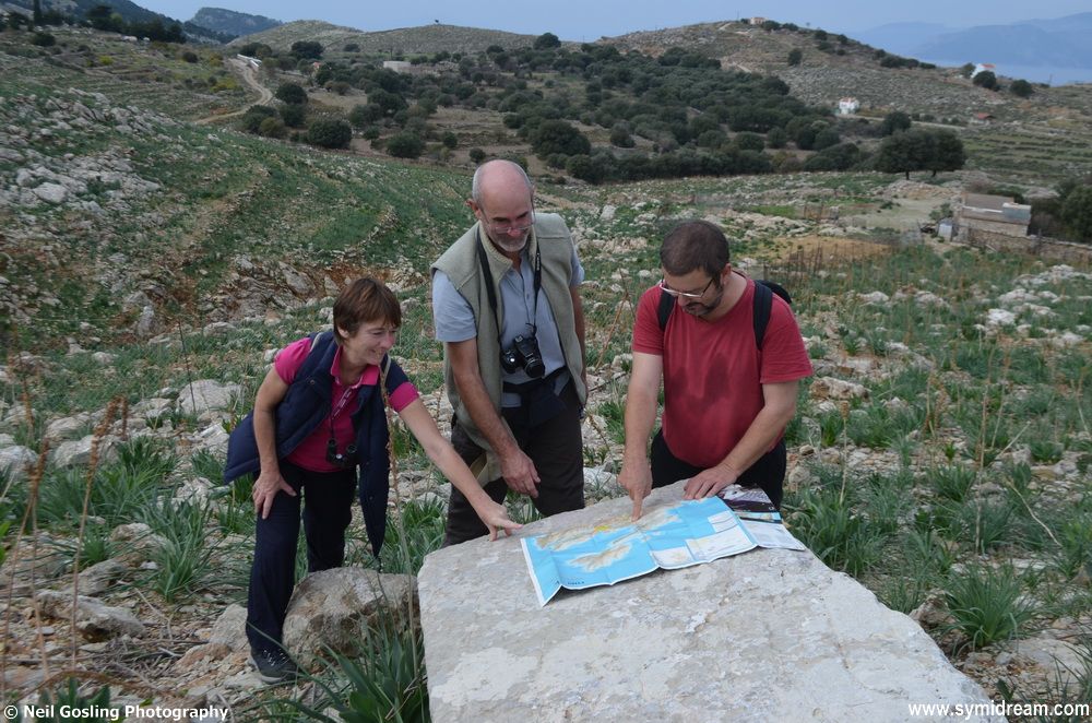
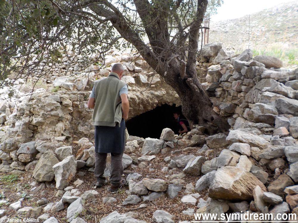
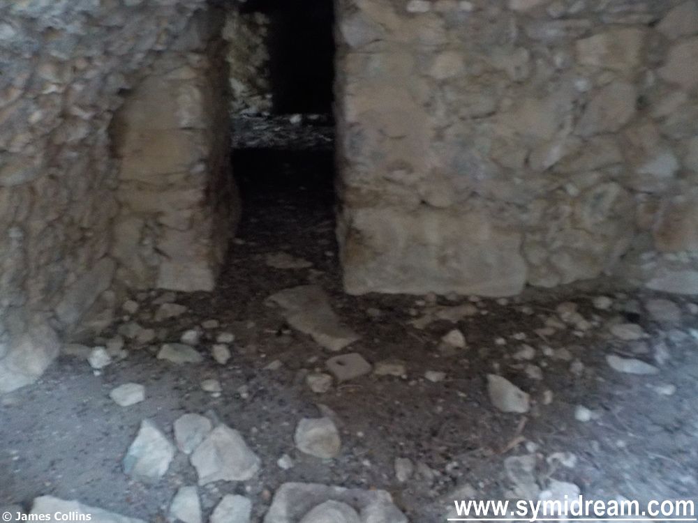
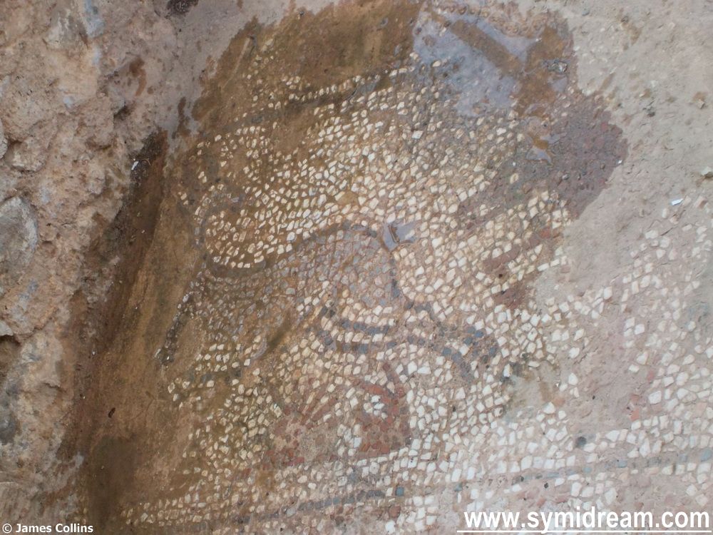
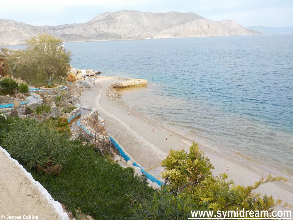
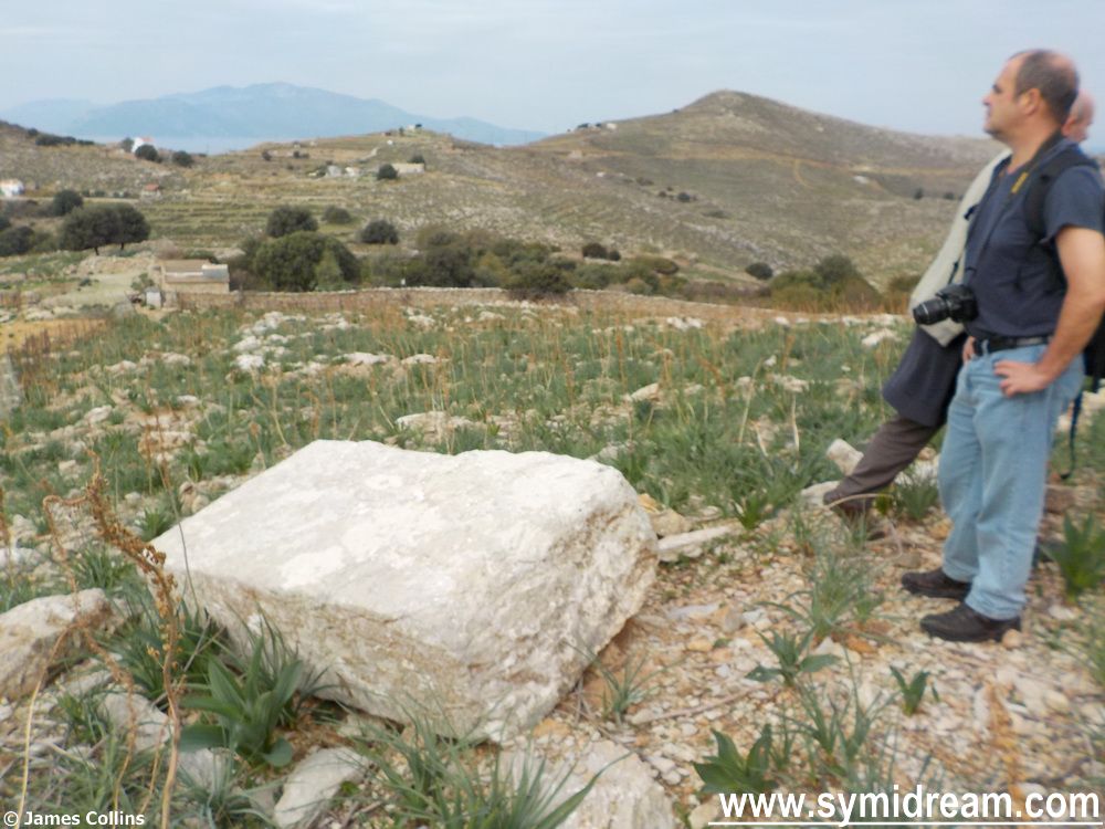
![Coming down the hillside, to where we will join that riverbed, we came across a strange stone. One huge slab of white rock that has been dressed, you can see chisel marks in it, very worn so probably very old. Thing is, this rock must weigh a couple of tonnes and it is not the same rock as thereabouts; it had been brought here at some point, and for some reason. There is evidence around that the area may have been occupied; some straight edges to some of the ground rocks (or could that be coincidence?) and certainly some large ruined buildings including another windmill – lower down the ridge fromt the Roukouniotis windmill. So, the question is, what was this stone used for? Our guesses ranged from a sacrificial altar, through a grave marker, to a chart table, which is what we used it as we laid out the map to see if it was marked as an historic monument. It wasn't. [Later that evening, I asked Sotiris at the supermarket if he had any ideas, as I know he has land and farms out that way. He told me it was a sacrificial altar, and laughed. He had no idea either. So, if you know, please put answers on a postcard and email them to me. Ta.] Back to the walk. From Aslan’s Table (my name for it) we headed across the hillside and over a wall, getting in a nice but mild bit of rock climbing, and then skirted along the edge of the riverbed, high up, traversing a dodgy part at one point with only a flimsy metal fence to cling to if we should slip – more rock climbing, brought back fond memories of my days in harness and ropes (but that’s another story) and almost gave me the bug back, and the vertigo was not an issue. And onwards… Now, if you are following this on a map, we are opposite the ancient landmark of 12 ΣΠΗΛΙΑ, or 12 Caves, of which there was not sight or sound. But talking of sound, here’s a little video where you can hear what the walk was like after we’d met the ponies and just after Aslan’s Table. They are goat bells you hear; a whole herd was coming down that hillside you can see in the middle distance. I’d provide you with the smell of wild oregano and sage (took some home) if I could, but that's not yet possible on a WordPress blog. So, onwards past the invisible Spilia, and now we round a corner where we can see the sea and Nimborio. And that’s for tomorrow when we find catacombs, mosaics and a glass of wine.](https://symidream.com/wp-content/uploads/2014/12/Walking-through-the-Kato-Meria-are-of-Symi-22.jpg)